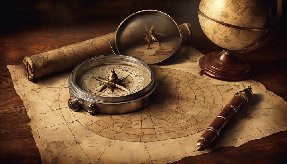
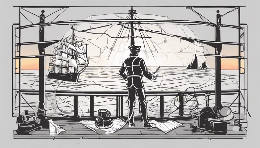
Before the age of modern technology, explorers relied on a combination of skill, observation, and ingenious tools to navigate the vast unknown. The methods they employed to chart their course across uncharted waters and unexplored territories are a testament to human ingenuity and adaptability. By unraveling the mysteries of how these intrepid individuals found their way through the world with limited resources, we gain insights into the remarkable feats of exploration that shaped our understanding of the globe. The journey of discovery beckons us to uncover the secrets of past navigational techniques and appreciate the art of exploration before the digital age revolutionized the way we navigate.
Key Takeaways
- Early navigators used celestial bodies and specialized tools for accurate navigation.
- Natural cues like bird behavior and wind patterns aided in course planning.
- Dead reckoning helped estimate positions but faced challenges like errors and unreliable timekeeping.
- Evolution of tools like astrolabes, compasses, and chronometers improved navigation precision.
Early Methods of Navigation
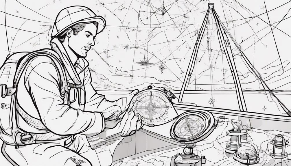
Early methods of navigation employed by early explorers relied heavily on coastal landmarks, celestial bodies, and a variety of specialized tools to determine their positions and chart their course across the seas. Celestial navigation was a fundamental technique utilized by mariners, where they observed the positions of stars, the sun, and the moon to calculate their latitude and approximate time. One of the key tools used for this purpose was the Mariners astrolabe, a device that allowed navigators to measure the angle between the horizon and a celestial body accurately.
In addition to celestial navigation, early explorers also utilized instruments like cross-staffs and quadrants to measure angles and determine their position relative to the sun or stars. These tools, although rudimentary by modern standards, were crucial in helping navigators estimate their location at sea. However, the lack of precise longitude measurements on maps posed significant challenges, requiring explorers to rely on a combination of navigational techniques and environmental cues such as wind patterns and currents to safely navigate the vast oceans.
Use of Celestial Bodies
Navigators of the past employed celestial bodies, such as the sun, moon, and stars, as guiding beacons to ascertain their direction and determine their position on the Earth's surface. Celestial navigation involved using tools like astrolabes, quadrants, and cross-staffs to measure the altitude of these celestial bodies. By understanding the movement of these celestial bodies in relation to the observer's position, early explorers could estimate their latitude and plot their course accurately. This method required a deep knowledge of astronomy and mathematics to interpret the observations correctly and navigate effectively across vast oceans.
Celestial Navigation Tools:
| Tool | Function |
|---|---|
| Astrolabe | Measure the altitude of celestial bodies |
| Quadrant | Determine the angle between a celestial body and horizon |
| Cross-Staff | Measure the angle of a celestial body above the horizon |
Employing celestial navigation techniques, explorers could brave the unknown, venture into uncharted territories, and ultimately reach their destinations by relying on the guidance provided by the celestial bodies above.
Navigation by Sea Birds

Observing the behavior of sea birds proved instrumental in aiding ancient navigators at sea. By noting the flight patterns and actions of various bird species, sailors could discern the proximity of land and adjust their course accordingly. The ability to read bird behavior provided valuable navigational clues that guided explorers towards potential land masses during their journeys.
Bird Flight Patterns
Utilizing the distinctive flight patterns of sea birds, explorers adeptly gauged the proximity of land during their navigational pursuits.
- Explorers observed the flight patterns of sea birds to determine the proximity of land.
- Certain bird species, like terns and petrels, indicated the presence of nearby islands or fishing grounds.
- Mariners followed birds returning to land at dusk or flying inland to find hidden harbors.
- Understanding bird behavior helped navigators locate landmasses and potential food sources.
- Sea birds provided valuable navigational cues for early explorers before the advent of modern technology.
Reading Bird Behavior
The ability to interpret and understand the behavior of sea birds played a vital role in the navigation strategies of early explorers across vast ocean expanses. Polynesian navigators, in particular, relied heavily on observing bird behavior to gauge their proximity to land. By closely monitoring the flight patterns and movements of specific bird species like frigatebirds, petrels, and boobies, these navigators could infer the presence of nearby islands or productive fishing grounds. Birds exhibiting behaviors such as flying in a certain direction or circling overhead served as valuable indicators of land in the vicinity. Such astute observations of bird behavior were essential skills that ancient navigators honed to successfully traverse the expansive and often treacherous oceans in their voyages of exploration.
Wind and Wave Navigation
Navigating through wind and wave patterns was a crucial skill for early explorers venturing across open waters. The behavior of waves, including their direction and frequency, served as vital indicators for determining the most favorable routes. By understanding how wind influenced sailing paths, explorers could strategically plan their voyages to capitalize on favorable conditions and minimize travel time. Skilled navigators could adeptly interpret subtle variations in wind direction and wave patterns, allowing them to make real-time adjustments to their course. Wind and wave navigation demanded a profound comprehension of natural cues and environmental elements to navigate efficiently over extensive distances.
- Wind patterns and wave observations were essential for determining direction and movement.
- Waves' characteristics, such as direction and frequency, provided valuable navigation clues.
- Knowledge of how wind influenced sailing routes helped optimize journey planning.
- Skilled navigators could adjust their course by interpreting subtle changes in wind direction and wave patterns.
- Effective wind and wave navigation required a deep understanding of natural cues and environmental factors.
Technique of Dead Reckoning
Dead reckoning, an essential technique in navigation, involved the estimation of a current position based on a known starting point and directional course. Navigators relied on factors such as speed, time, and direction to calculate distances traveled, forming the basis of dead reckoning. However, the method's inherent limitations in accounting for external influences like currents and winds posed challenges and potential inaccuracies in determining precise locations.
Importance of Dead Reckoning
Before the era of modern technology, the technique of dead reckoning played a crucial role in enabling explorers to navigate vast expanses of unknown territories. Dead reckoning involved estimating a current position based on a previously known position, speed, and direction.
- Dead reckoning required accurate measurements of speed, time, and course changes to maintain precision.
- Mariners utilized dead reckoning by tracking distances from a known point and factoring in variables like wind and currents.
- Challenges of dead reckoning included the accumulation of errors over time and the necessity for frequent recalculations.
- Despite its limitations, dead reckoning was a vital method for early explorers to traverse oceans and uncharted lands.
- Accuracy in dead reckoning was crucial for successful navigation before advanced tools became available.
Tools for Dead Reckoning
The utilization of tools such as the chip log and logbooks was essential in aiding navigators in their dead reckoning calculations during explorations before the advent of modern technology. The chip log, a device consisting of a piece of wood attached to a line with knots at specific intervals, was deployed into the water to measure a ship's speed through the water. This speed data, combined with information from logbooks that recorded distances traveled and course changes, allowed navigators to estimate the vessel's position relative to its starting point. While these tools were valuable, factors like currents, winds, and human error could introduce inaccuracies into the dead reckoning calculations, highlighting the challenges faced by early explorers in their navigation endeavors.
Challenges in Dead Reckoning
Prior to the advancements in modern navigation technology, navigators encountered formidable challenges when implementing the technique of dead reckoning to estimate their position at sea. Dead reckoning involved estimating position based on previously known position, speed, and direction traveled. The challenges in dead reckoning included errors due to currents, winds, and inaccurate speed measurements. Lack of accurate timekeeping devices, such as the marine chronometer, made dead reckoning less reliable for long voyages. Navigators had to rely on visual observations, celestial cues, and landmarks to correct dead reckoning errors. Despite its limitations, dead reckoning was a crucial technique for early explorers before the advent of modern navigation tools.
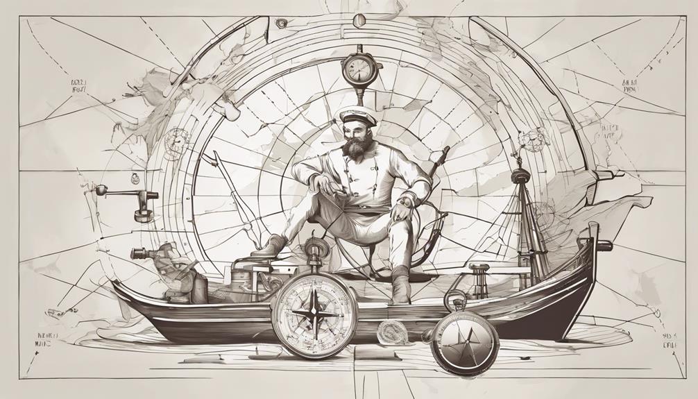
Ancient Navigation Tools
Utilizing celestial observations and innovative instruments, ancient navigators adeptly charted their courses across vast oceans. The mariner's compass, first invented in China, played a pivotal role in revolutionizing maritime navigation. By pointing towards magnetic north, this compass provided sailors with a reliable reference for direction, significantly enhancing their ability to traverse the seas. In addition to the compass, ancient explorers relied on the sun and stars to navigate. Tools such as the astrolabe and quadrant enabled them to determine their latitude based on celestial observations, allowing for more precise route planning. Furthermore, lead lines were utilized to measure water depths, particularly useful for coastal navigation where underwater hazards posed significant risks. Alongside these tools, early navigators also made use of landmarks, ocean currents, and bird migrations to supplement their navigational methods, showcasing the resourcefulness and ingenuity of ancient seafarers in their quest for discovery.
Depth and Speed Measurement Tools
Navigators utilized tools such as lead lines to determine water depth during voyages. Lead lines, consisting of a lead weight attached to a rope, were crucial for sailors to gauge the depth of the waters they were navigating. These tools played a vital role in helping mariners avoid underwater obstacles and safely navigate their ships.
Depth Measurement Tools
Before the advent of modern technology, mariners relied on lead lines, comprising a lead weight attached to a rope, as a fundamental tool for measuring water depths during navigation.
- Lead lines were crucial for determining safe passage in shallow waters and avoiding underwater obstacles.
- The lead weight retrieved samples of the ocean floor, offering insights into seabed composition.
- This method was a primary tool for depth measurement before the introduction of sonar and depth sounders.
- Understanding water depths was vital for navigation to prevent shipwrecks and safely navigate through unknown waters.
- Mariners honed their skills in interpreting the information gathered from lead lines to navigate treacherous waters accurately.
Speed Measurement Tools
Speed measurement tools, alongside depth measurement instruments, played a vital role in assisting mariners in navigating the seas before the era of modern technology. Lead lines, consisting of a lead weight attached to a rope, were commonly used to measure water depths for safe passage. By lowering the lead weight into the water, sailors could determine the depth of the seabed and identify potential hazards. Samples of the seabed brought up by the lead line, such as sand or mud, provided valuable information about the underwater topography. These lead lines were indispensable for sailors, especially when exploring unfamiliar or uncharted waters. While technology has since introduced more advanced methods like sonar, lead lines remain significant in maritime history and are still utilized in certain navigation scenarios.
Mariners' Compass Use
The utilization of the mariner's compass, a fundamental tool in maritime navigation, significantly enhanced explorers' ability to navigate accurately across vast and uncharted seas. The magnetic compass played a crucial role in guiding sailors and explorers by indicating the cardinal directions. Some key points regarding the mariner's compass include:
- The magnetic compass, also known as the mariner's compass, provided a reliable reference point for determining direction at sea.
- The needle of the compass aligns with the Earth's magnetic field, pointing towards the magnetic North Pole.
- Early compass designs were simplistic, often consisting of a magnetized needle floating in water, before evolving into more advanced versions.
- The mariner's compass revolutionized maritime exploration by offering a consistent means of orientation for sailors and explorers.
- Navigational accuracy greatly improved with the widespread adoption of the mariner's compass, allowing for more confident and precise voyages across the oceans.
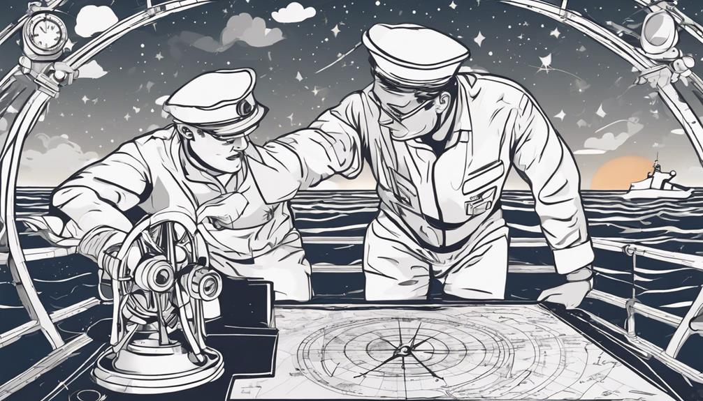
Importance of Navigation Charts
In maritime exploration, the utilization of navigation charts proved indispensable for sailors and explorers seeking precise information on coastlines, hazards, and safe passages. These charts, often hand-drawn by skilled cartographers, provided essential details such as landmarks, depths, and currents crucial for navigating the seas. Symbols representing various features like ports, rocks, and shallows were used to aid sailors in identifying key points along their route. Additionally, compass roses were included to indicate directions, enabling navigators to orient themselves correctly. Over time, navigation charts became more sophisticated, incorporating accurate measurements and annotations for even more precise navigation.
Sailors heavily relied on these charts to plan their routes, avoid dangers, and ultimately reach their destinations safely. The evolution of navigation charts played a significant role in the success of maritime exploration, allowing sailors to venture into unknown waters with greater confidence and navigational accuracy. The detailed information provided by these charts was instrumental in shaping the course of exploration and trade across the seas.
Tools for Celestial Navigation
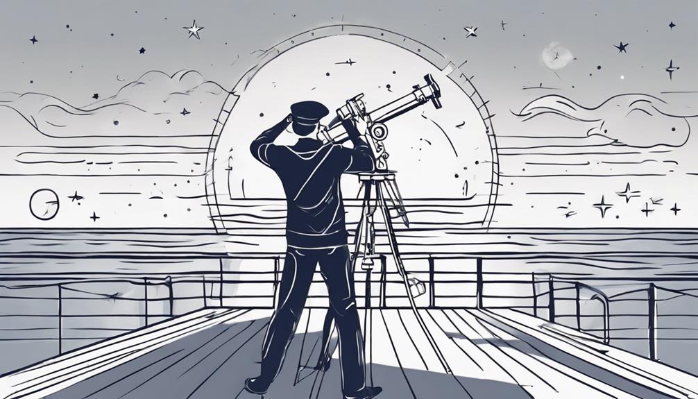
Explorers navigating the vast expanses of the open seas before the advent of modern technology utilized a variety of sophisticated tools for celestial navigation, including astrolabes, cross-staffs, and quadrants to measure the angles of celestial bodies. Celestial navigation involved calculating the altitude of the sun, moon, stars, and planets to determine the ship's position accurately. The sextant, an improved navigation instrument, replaced older tools and provided more accurate celestial observations. By observing the position of celestial bodies in the sky, mariners could determine their latitude and approximate their longitude, enabling them to plot their course accurately across the seas. Skilled navigators relied on the precise measurement of celestial angles to ensure they stayed on course and reached their destinations safely.
- Astrolabes, cross-staffs, and quadrants were essential tools for measuring celestial angles.
- Celestial navigation allowed for determining latitude and approximating longitude.
- The sextant improved the accuracy of celestial observations.
- Observing celestial bodies in the sky was crucial for navigation.
- Skilled navigators depended on precise measurements for accurate course plotting.
Role of the Chronometer
Utilizing a groundbreaking timekeeping device, navigators significantly enhanced their ability to determine precise longitudinal coordinates during maritime expeditions. John Harrison's invention of the chronometer in the mid-1770s revolutionized accurate longitude calculations for explorers. Before its advent, calculating longitude posed a formidable challenge, often leading to substantial errors in determining a ship's position at sea. Captain James Cook's successful global explorations notably showcased the importance of the chronometer in maritime navigation, allowing sailors to compare local time with a reference point and accurately pinpoint their location. This innovation marked a pivotal advancement in navigation, providing explorers with the confidence to venture into uncharted waters with improved precision.
| Chronometer Advantages | |
|---|---|
| Enhanced Longitude Calculations | Improved Accuracy |
| Facilitated Global Navigation | Increased Precision |
| Boosted Confidence for Explorers | Superior Timekeeping |
The chronometer's integration into maritime expeditions not only refined navigational practices but also laid the foundation for further advancements in the field of exploration.
Evolution of Modern-Day GPS
Developed by the U.S. Department of Defense in the 1970s, the Global Positioning System (GPS) represents a monumental advancement in navigation technology. GPS has significantly transformed the way we navigate both on land and at sea. In the context of long-range navigation, especially in open ocean scenarios, GPS plays a crucial role in ensuring accurate positioning and course plotting for ships and aircraft. Here are some key points regarding the evolution of modern-day GPS:
- GPS was initially developed for military purposes, enhancing long-range navigation capabilities.
- The deployment of the first GPS satellite in 1978 marked the beginning of a satellite constellation that now comprises 24 satellites.
- GPS enables precise positioning, navigation, and timing information globally by receiving signals from multiple satellites.
- Triangulating signals from at least three satellites allows GPS receivers to determine their exact location on Earth.
- The widespread adoption of GPS technology has revolutionized navigation practices by offering unparalleled accuracy and reliability, particularly in open ocean environments.
Navigational Challenges Faced
Facing a myriad of obstacles arising from limited navigational tools and environmental uncertainties, early explorers encountered formidable challenges in accurately determining their positions and charting their courses. The vast expanse of the ocean presented a daunting task for navigators, as the lack of modern navigation tools made it challenging to establish precise locations. Inaccurate maps and the absence of longitude measurements further complicated their journeys, leading to deviations from intended routes. Unpredictable weather conditions added another layer of complexity, making navigation even more precarious. To navigate these treacherous waters, explorers heavily relied on natural cues such as celestial bodies and landmarks, as well as traditional knowledge passed down through generations of seafarers. Despite their best efforts, dead reckoning and estimated positions often resulted in errors, highlighting the critical need for skilled interpretation of environmental signs and vast experience in navigating the open seas. Mastering the art of navigation in such conditions was essential for the success and safety of early explorations.
Impact of Technology on Navigation
The integration of advanced technology has fundamentally transformed the precision and efficiency of navigation techniques utilized by modern explorers. This transformation has been especially notable in the following ways:
- Chronometer Development: The invention of the chronometer revolutionized accurate longitude calculations, enabling explorers to pinpoint their positions with greater certainty.
- Celestial Navigation Tools: While early navigators relied on astrolabes and sextants for celestial navigation, modern explorers now have access to GPS systems that provide real-time positioning information.
- Lead Lines and Coastal Navigation: Lead lines, once crucial for determining water depths, have been largely replaced by sonar technology, offering more precise underwater mapping capabilities.
- Natural Cues vs. Technological Aid: Modern technology such as radar and radio navigation has significantly enhanced explorers' ability to navigate through adverse weather conditions and challenging terrains.
- Position Determination: The use of landmarks and stars has been supplemented by advanced satellite systems, enabling explorers to determine their positions with unparalleled accuracy in remote areas.
Frequently Asked Questions
What Did Explorers Use for Navigation?
Explorers utilized celestial navigation, relying on stars and the sun for direction. Wayfinding techniques like the astrolabe and cross-staff helped determine latitude. Magnetic compasses ensured accurate headings at sea. Lead lines gauged water depth for avoiding hazards. Nautical charts and maps supplemented navigation aids. Though less precise than modern tools, these methods were crucial for successful exploration.
What Was Used Before GPS or Digital Navigation?
Before GPS or digital navigation, explorers utilized celestial navigation, guiding their paths through the heavens. The compass and sextant were vital tools in determining direction and angles, respectively. By observing the positions of celestial bodies and applying mathematical principles, navigators could pinpoint their location on Earth's surface. This method of celestial navigation, coupled with traditional tools and natural cues, formed the foundation of successful exploration and maritime journeys before modern technological advancements.
What Are the Traditional Navigation Methods?
Utilizing age-old techniques, early explorers navigated the vast expanses of land and sea through a combination of celestial navigation and dead reckoning. Celestial navigation involved observing celestial bodies to ascertain direction, while dead reckoning relied on speed and distance estimates from a known point. These traditional methods, augmented by landmarks and tools like the astrolabe, were instrumental in guiding explorers through uncharted territories with precision and skill.
What Navigation Technology Was Used in the 1500s and the Age of Exploration?
During the 1500s and the Age of Exploration, mariners utilized celestial navigation, employing tools such as astrolabes to determine their position at sea by observing celestial bodies. The mariner's compass, a crucial invention of the time, provided direction regardless of sea conditions. These technologies, along with leadlines for depth sounding, navigation charts, and pilot books, enabled sailors to navigate safely and explore new territories using a combination of traditional methods and rudimentary navigational instruments.
Conclusion
In conclusion, the historical methods of navigation utilized by explorers before modern technology were diverse and essential for their journeys. One interesting statistic is that the development of the mariner's compass in the 12th century revolutionized maritime navigation, allowing for more accurate direction and exploration of distant lands. These early navigational techniques laid the foundation for the sophisticated GPS technology used today.