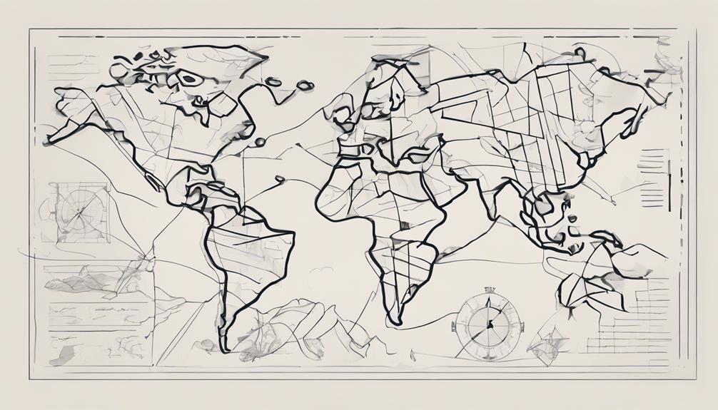
The evolution of maps throughout history offers a fascinating glimpse into the dynamic nature of cartography. From the rudimentary depictions of ancient civilizations to the intricate digital representations of today, maps have continuously adapted to meet the needs of an ever-changing world. By tracing the trajectory of mapmaking techniques and technologies, one can discern not only the progression in accuracy and detail but also the profound impact these changes have had on our understanding of geography and spatial relationships. As we explore the various stages of map development, it becomes clear that each era has left its unique imprint on the way we perceive and navigate the world around us.
Key Takeaways
- Early maps integrated religious symbols with geographical details.
- Technological advancements like Mercator Projection improved map accuracy.
- Digital mapping revolutionized navigation and accessibility.
- Modern innovations like augmented reality enhance interactive map experiences.
Ancient Cartography Techniques
Ancient cartography techniques, influenced significantly by the Greek civilization, marked the foundation of early geographical mapping practices. The Greek civilization, with prominent figures like Anaximander and Pythagoras, played a crucial role in shaping early cartography. Anaximander is credited with creating the first known world map, while Pythagoras speculated about the Earth being a sphere, laying the groundwork for understanding the planet's shape in early cartography.
Moreover, Eratosthenes, another Greek scholar, made substantial contributions to geographic knowledge. He calculated the Earth's circumference with remarkable accuracy using simple yet ingenious methods. By measuring the angle of the sun's rays at different locations, Eratosthenes estimated the Earth's size, showcasing the advanced understanding of the Greek geographers in early cartography.
These early cartography techniques not only provided a basis for mapping the known world but also paved the way for future advancements in geographical exploration and understanding. The Greek influence on ancient cartography established fundamental principles that would shape mapping practices for centuries to come.
Roman Empire Mapping Innovations
Roman cartographers in the Roman Empire were known for their practical approach, catering to military and administrative needs. Their focus on core territories for strategic purposes limited the scope of their maps. Ptolemy's Geographica, with its innovative latitude and longitude system, left a lasting impact on Roman cartography and influenced future map accuracy.
Roman Empire Mapping Techniques
Mapping techniques employed within the historical context of the Roman Empire exhibited a distinct emphasis on practicality and functionality, particularly in addressing military and administrative requirements.
- Roman cartographers: Focused on practical uses like military and administrative needs.
- Geographica: Ptolemy's work influenced later cartographers with its latitude and longitude system.
- Geographical information: Roman mapping techniques provided detailed and accurate information for strategic purposes.
- Cartography: The Roman Empire's mapping emphasis laid the foundation for future advancements in mapping methodologies.
Cartography in Ancient Rome
Within the historical context of the Roman Empire, the evolution of cartography showcased a shift towards prioritizing practicality and strategic utility in mapping techniques. Roman cartographers, driven by military and administrative needs, confined their maps to core territories for strategic purposes. Ptolemy's influential work, Geographica, significantly impacted later cartographers and mapping methodologies. The introduction of a latitude and longitude system in Roman cartography marked a pivotal moment in mapping innovations, allowing for more precise location plotting. These advancements in Roman mapping not only served immediate strategic objectives but also laid the groundwork for future developments in cartography. The Roman Empire's emphasis on practicality and strategic utility in mapping techniques left a lasting legacy that influenced the evolution of maps for centuries to come.
Middle Ages Mapmaking Trends
During the Middle Ages, mapmaking trends were characterized by the use of unique materials and cartography techniques, often influenced by religious beliefs. European maps of this era integrated religious motifs, while Islamic scholars made advancements in geographic measurements. The development of the meridians and parallels system during this period contributed to the increased accuracy of maps.
Medieval Map Materials
Commonly crafted on durable vellum parchment derived from animal skin, medieval maps of the Middle Ages were meticulously detailed using ink and pigments sourced from natural materials like plants and minerals. These maps often featured:
- Intricate Illustrations: Skilled artists added detailed drawings of landmarks and creatures to enhance the map's visual appeal.
- Decorative Borders: Elaborate borders were used to frame the maps and make them aesthetically pleasing.
- Religious Symbols: Symbols representing religious beliefs and practices were integrated into the map design.
- Skilled Scribes: Talented scribes painstakingly copied geographical information onto the parchment, ensuring accuracy and legibility.
Cartography Techniques Used
In medieval cartography, the utilization of intricate religious motifs played a significant role in shaping the techniques employed in mapmaking during this era. Islamic scholars like Al Idrisi made advancements in mapmaking by introducing improved measurement units and calculating the Earth's circumference. The development of the meridians and parallels system also emerged during the Middle Ages, enhancing the accuracy of medieval maps. Al Idrisi's Tabula Rogeriana, a scientific treatise, provided detailed geographical information and showcased the evolving cartography techniques of the time. Additionally, the use of the Mercator Projection began to find its place in mapmaking during this period. Below is a table highlighting key aspects of cartography techniques used in medieval mapmaking:
| Aspect | Description |
|---|---|
| Religious Motifs | Intricate religious symbols and themes heavily incorporated in map designs |
| Measurement Units | Advancements in calculating distances and the Earth's size |
| Meridians and Parallels | Introduction of a system for longitudinal and latitudinal lines |
| Tabula Rogeriana | Al Idrisi's significant medieval map detailing geographical information |
Influence of Religion
The infusion of intricate religious motifs and symbolism in medieval European cartography not only shaped mapmaking techniques but also deeply influenced the overall representation of geographical information during this era.
- Maps during the Middle Ages often integrated religious symbols with geographical details, reflecting the dominant religious worldview of the time.
- Jerusalem frequently held a central position on these maps, underlining its religious significance.
- Islamic scholars' advancements in mapmaking, such as refining measurement units and estimating the Earth's circumference, also influenced European cartography.
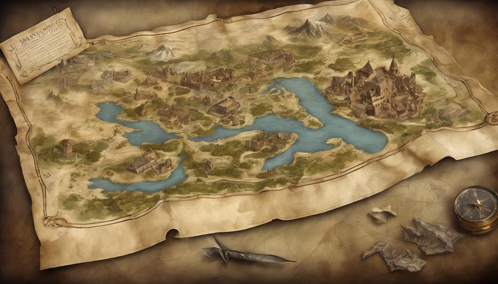
- The mappa mundi, a prevalent form of medieval European maps, blended religious, historical, and geographical elements in a distinctive artistic style, serving both practical and symbolic purposes.
Early Modern Cartography Advancements
Early advancements in early modern cartography heralded a new era of precision and detail in mapmaking techniques. The introduction of the Mercator Projection in 1569 marked a significant milestone, allowing for accurate representation of angles and shapes on flat surfaces. Matteo Ricci's 1602 Ricci Map further pushed the boundaries of cartography by showcasing detailed intercontinental exchanges, contributing to the advancement of global cartography. The post-Industrial Revolution period witnessed a surge in map demand due to the expansion of the middle class and increased travel opportunities. Additionally, the rapid railroad expansion in the 19th century necessitated the creation of detailed and factual maps to support the growing transportation networks. Cartography evolved in response to societal and technological changes, adapting to cater to the expanding needs of a developing world.
| Advancements | Significance |
|---|---|
| Mercator Projection | Accurate representation of angles and shapes on flat surfaces |
| Matteo Ricci's Ricci Map | Detailed portrayal of intercontinental exchanges, advancing global cartography |
| Post-Industrial Revolution | Increased map demand due to middle class expansion and travel opportunities |
| Railroad Expansion | Creation of detailed maps to support transportation networks |
Evolution of Maps in the Modern Era
With the advent of advanced technologies, the evolution of maps in the modern era has undergone a transformative shift towards digital cartography. This shift has been facilitated by the integration of GIS software, modern satellite systems, and other technological advancements. Here are some key aspects of the evolution of maps in the modern era:
- Digital Maps: The transition from traditional paper maps to digital formats has revolutionized the way we navigate and interact with geographic information.
- Mobile Devices: The widespread use of smartphones and tablets has enabled easy access to digital maps on-the-go, enhancing convenience and accessibility.
- Augmented Reality: Incorporating augmented reality technology into mapping applications has opened up new possibilities for immersive and interactive map experiences.
- Machine Learning Algorithms: Utilizing machine learning algorithms has improved the accuracy and efficiency of map data processing, leading to more precise and detailed digital maps.
These advancements highlight the dynamic nature of modern mapmaking, driven by innovation and the relentless pursuit of enhanced spatial representation.
Impact of Technology on Mapmaking
Advances in technology have fundamentally reshaped the landscape of mapmaking, ushering in an era characterized by unprecedented precision, efficiency, and innovation in spatial data analysis and representation. The integration of Geographic Information Systems (GIS) and cartography has allowed for the seamless synthesis of various data layers, enhancing the depth and complexity of maps. Satellite technology plays a crucial role in providing high-resolution imagery, enabling accurate mapping of Earth's surface with intricate detail. GPS systems have revolutionized navigation by offering real-time tracking and precise location services, improving overall user experience. Moreover, the incorporation of machine learning algorithms and artificial intelligence (AI) in map data processing has significantly enhanced map accuracy, usability, and predictive capabilities. This technology revolution has propelled mapmaking to new heights, empowering cartographers and geospatial analysts to create dynamic, interactive, and incredibly detailed maps that cater to a wide array of needs and applications.
| Technology | Advantages | Applications |
|---|---|---|
| Satellite Technology | High-resolution data, accurate mapping of Earth's surface, enhanced precision and detail | Environmental monitoring, urban planning |
| GIS | Complex spatial analysis, data integration, improved efficiency and effectiveness of map creation | Disaster management, market analysis |
| GPS Systems | Real-time tracking, precise location services, transformed navigation and route planning | Logistics, emergency services |
| Machine Learning | Enhanced map accuracy, usability, predictive capabilities | Traffic prediction, land use classification |
Notable Maps That Transformed Geography
The transformative impact of notable maps on geography is exemplified by their pivotal role in shaping our understanding of the world's landscapes and interconnected systems. Notable maps that have significantly transformed geography include:
- Matteo Ricci's 1602 Ricci Map, which showcased early intercontinental exchanges, influencing global perceptions of geography.
- The Channel Country map in Australia, detailing intricate river systems, aiding in environmental and agricultural studies.
- The Broome Geological Survey map, providing crucial insights into the geological composition of the region, supporting resource exploration.
- Mount Etna SkyMap50, offering a comprehensive view of the volcanic region, aiding in research and disaster management.
These maps, akin to the Fra Mauro map and the Hereford Mappa Mundi, have played critical roles in advancing geographical knowledge and understanding. Just as King Roger II and Claudius Ptolemaeus contributed to the evolution of world maps through their scientific treatises, these notable maps continue to shape our perception of the world's diverse terrains and environments.
Frequently Asked Questions
How Did the Map Change Over Time?
Maps have evolved significantly over time due to advancements in cartographic technology, enhancing geographic accuracy and cultural representation. Navigation tools like compasses and sextants improved map precision, while political boundaries became more defined. Topographic details increased, reflecting environmental changes and exploration impact. The transition to digital cartography further revolutionized mapmaking, incorporating GPS, remote sensing, and GIS software for unparalleled accuracy and accessibility.
What Has Changed the Way That Maps Are Made?
Technological advancements, such as satellite imagery and mapping software, have transformed the way maps are made. These innovations have revolutionized cartographic techniques, enabling the creation of high-resolution, interactive 3D maps. Geographic information gathered through aerial photography and remote sensing has enhanced map accuracy and detail. The shift towards digital mapping tools has facilitated real-time updates and enriched user experiences, marking a significant evolution in the field of mapmaking.
How Were Early Maps Different From the Ones Today?
Early maps differed from modern ones in various ways. They often featured artistic representations, lacked the precision of today's maps due to limited mapping techniques and tools, and had less historical accuracy. Geographic boundaries were less defined, and land surveying methods were rudimentary. Cultural perspectives heavily influenced early maps, shaping their design and content. These differences highlight the evolution of cartography over time towards more accurate, functional, and widespread mapping tools.
Why Do Maps Change All the Time?
Maps change constantly due to the dynamic nature of our world. This evolution is fueled by advancements in technology, enabling more accurate representations of political boundaries, environmental factors, and cultural shifts. Additionally, demographic changes and geographic discoveries necessitate updates to reflect current realities. Cartographic techniques continue to improve, ensuring maps remain relevant and informative. The continuous updates ensure that maps remain a vital tool in understanding our ever-changing world.
Conclusion
In conclusion, the evolution of maps over time has been a testament to human ingenuity and technological progress. From the artistic and simplistic maps of ancient civilizations to the precise and digital maps of today, each era has contributed to the accuracy and accessibility of cartography. The impact of technology on mapmaking cannot be understated, as advancements in tools and techniques have revolutionized the way we perceive and navigate the world around us.